
Own Your Data, Power Your Fields
Specializing in Agricultural Data Strategies That Turn Complex Technology Into Practical Farming Decisions
Who We Help
We partner with agricultural professionals and organizations that rely on accurate data, strategic planning, and modern technology to operate efficiently and grow with confidence.
-

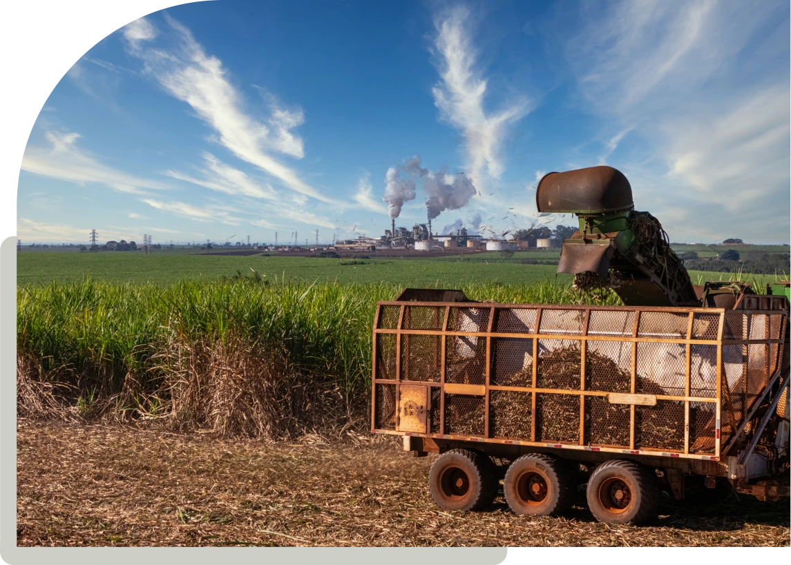
Farmers & Agricultural Producers
Supporting on-farm decision-making with data clarity, mapping, and technology strategies that improve productivity.
-

Agricultural & Food Processors
Streamlining data management, compliance, and operational planning across processing and supply chain workflows.
-

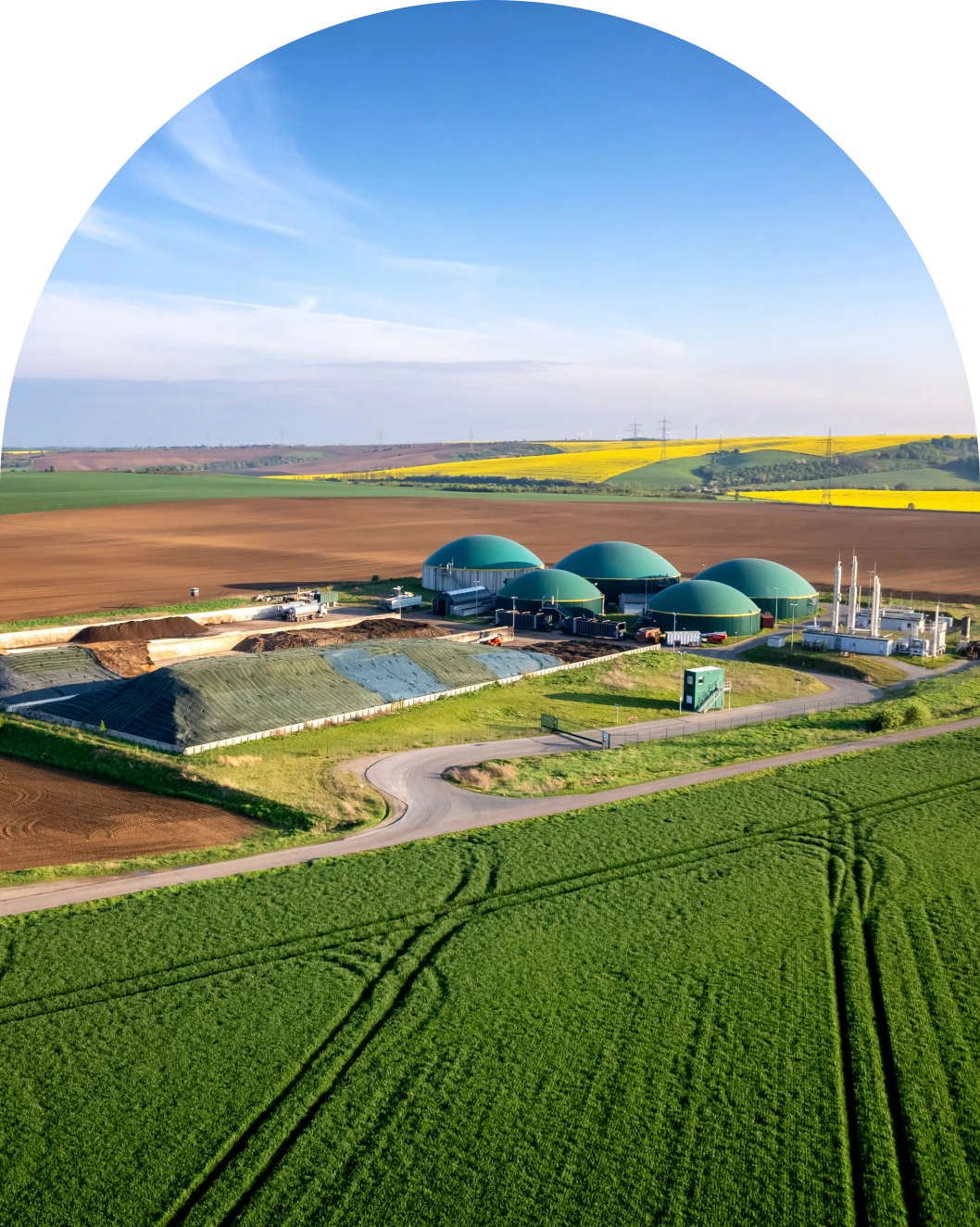
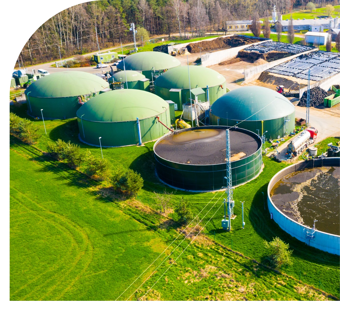
Bioenergy & Renewable Energy Projects
Delivering mapping, analysis, and grant support for biomass, renewable fuels, and energy-driven agricultural initiatives.
Transforming Agriculture Through Strategic Data Partnerships
With over 20 years of experience in engineering design, research, teaching, and mapping application development, EcoAnalytics- formerly Dry Creek Engineering & Geospatial- is expert in addressing complex environmental, engineering, and agricultural data challenges. Our work builds on a proven foundation while expanding into modern AgTech and data-driven solutions.

Data Solutions That Work
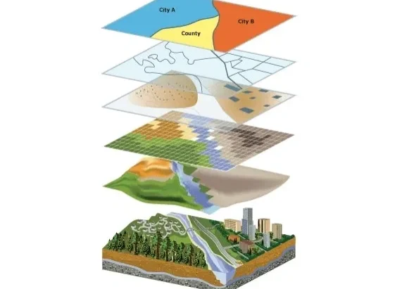
Our core specialties include data mapping, data management, GIS training, biofuels research, and grant writing-helping clients move from disconnected spreadsheets to fully integrated digital systems. From imagery and soil types to nutrient inputs and operational data, we bring all datasets together into a single, cloud-based mapping environment that improves visibility, efficiency, and decision-making.
We understand that technology can feel fast-paced and overwhelming. That's why every engagement is tailored to your organization's needs, goals, and budget. Whether you need a fractional GIS manager, targeted training, or full program support, we provide professional, high-touch service designed to let you focus on what you do best-running your business.
What We Do

Mapping & Data
Strategic GIS mapping and cloud-based data solutions that transform complex agricultural datasets into clear, actionable insight.

Grant Writing & Research
Coordinated movement of large construction equipment, including cranes and earthmoving assets.

Training
Secure and efficient handling of steel products and dry bulk cargo across global ports and routes.
Proven Experience, Trusted Results
-

Founded 2018
Established with a focused mission to deliver practical, high-impact agricultural technology solutions.
-

20+ Years Experience
Deep expertise across agricultural operations, GIS mapping, and data-driven technology consulting.
-

$5.9M+ in Grants
Proven success helping organizations secure USDA and innovation-focused funding.
-

Trusted ESRI Partner
Recognized for delivering professional GIS mapping and cloud-based data solutions.
Meet the Founder
Natalie Martinkus, Ph.D., P.E.
Founder of EcoAnalytics
Natalie is a licensed professional civil engineer with over 20 years of experience across consulting, research, and academia. Her background spans agricultural systems, environmental engineering, and large-scale USDA-funded initiatives, including contributions to a $40 million bioenergy project focused on sustainable biofuel supply chains.
Through EcoAnalytics, Natalie brings deep technical expertise and practical insight to help agricultural professionals turn complex data into clear, actionable solutions.
Proven Results Across Agriculture & Energy
Secured USDA grant funding supporting agricultural innovation and long-term technology adoption.
Delivered cloud-based GIS mapping systems that improved visibility across complex agricultural datasets.
Supported large-scale bioenergy initiatives through data analysis and technical research collaboration.
Implemented integrated mapping solutions that replaced fragmented reports and manual data tracking.
Provided high-touch GIS support that enabled clients to manage and visualize data in-house with confidence.
Contributed technical expertise to federally funded projects focused on sustainable resource management.
Latest Insights & Updates

Maximizing Efficiency With Geospatial Data in Agriculture
Unlocking the Potential of Geospatial Data in Agriculture In today’s rapidly evolving agricultural landscape, geospatial data is revolutionizing the way farms operate, enabling smarter decisions and more efficient practices. This introduction sets the stage for exploring how mapping and data management empower growers to optimize yields and reduce waste. By integrating advanced satellite imagery, GIS…
AgTech Deep Dive: Part 1 – The Intro
The traditional ecosystem of agriculture support is large when you think of all the players that help farmers with their crops each year. You have various crop consultants and agronomists that make recommendations for fertilizer, pesticide, and seed. Some do soil sampling to evaluate the soil structure, characteristics, and distribution throughout fields. Irrigation companies design…